Mount Cain Alpine Park
Overview
Skiing and snowboarding info for Mount Cain Alpine Park — see the weather forecast, snowfall reports, check out trail maps and get resort info, hours, directions and more.
* Snow amount reported in centimeters.
Pro-tip - The chart is interactive. Click or hover on items in the chart legend to customize the chart display.
Currently no snow data to has been reported for this date.
Select a previous date to see snow data for that date.
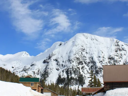
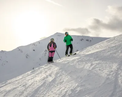
Mount Cain Alpine Park is home to the Mount Cain Ski Area in northern Vancouver Island just southeast of Woss, British Columbia, Canada. Mount Cain Ski Area only operates in the winter, on weekends and some holidays.
Planning a day trip or a ski vacation at Mount Cain Alpine Park? Explore our destination info using the tabs above or just click in to find current conditions, more info on the resort, trail maps and travel info.
Current Conditions
Current Conditions
See the latest weather and ski conditions at Mount Cain Alpine Park, with our snowfall reports updated daily for 24-hour, 48-hour, 7-day and total snowfall, as well as base snowpack.
No snow data currently reporting.
Trail Map & Statistics
Trails
They are only open three days a week (weekends and select Mondays) which permits the powder to accumulate all week. Mt. Cain has few line-ups and the welcoming atmosphere of a family oriented mountain.
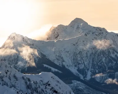
Mount Cain has the highest base elevation of any coastal ski hill in BC, Alaska and Washington State. Their peak elevation is second only to Whistler.
Mt. Cain is located near Schoen Lake Provincial Park and is run by the non-profit Mount Cain Alpine Park Society, Vancouver Island's only community owned and operated ski hill!
Runs
Two t-bars and a beginner's handle tow
Check out today's conditions at Mount Cain Alpine Park and get more information about the resort return to overview.
Resort Info
About the Resort
Destination Type- Skiing and snowboarding
- Cross country skiing
Weekends only 9:30 am 3:30 pm
- Skiing
- Snowboarding
- Snowshoeing
Getting There
Getting There
Shhhhh! Its a secret. When you want to get away from it all and explore some of the most challenging and exciting terrain available, head to the best kept secret stash of snow on Vancouver Island. Mount Cain is only open on weekends so you have fresh tracks on Saturday no matter when it snowed over the week.
Mount Cain is located on the northern portion of Vancouver Island, about 75 km NW of Sayward (roughly half-way between Campbell River and Port McNeill). Mount Cain is easily accessed from Highway 19 and is located 8 km south of the Woss turnoff. It's a 16 kilometer drive on a gravel road from the Highway 19 turnoff to the lodge. The road is regularly maintained by the mountain's maintenance department. From Nanaimo its about 2.5 hours to the Mount Cain turnoff. By the way, chains are mandatory on the last part of your journey.
They do offer a shuttle system but its hours are sporadic - best to check in with the resort to confirm exact details.
